First Alert Weather: Keeping eyes on the tropics
Potential tropical cyclone development
HONOLULU (HawaiiNewsNow) - We are calling First Alert Weather Days this weekend and potentially into next as we track potential impacts from a developing tropical cyclone.
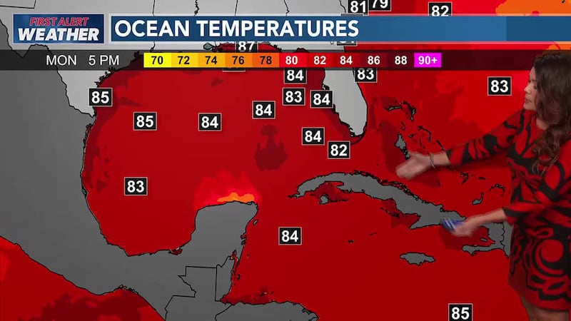
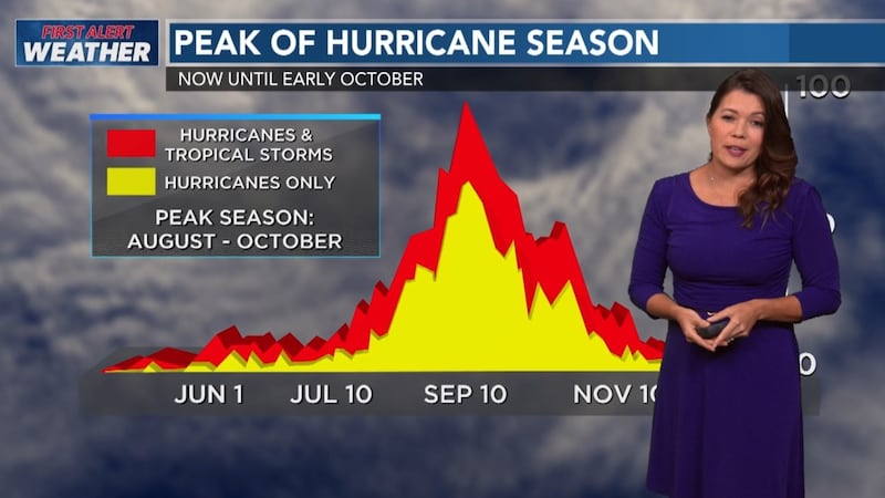
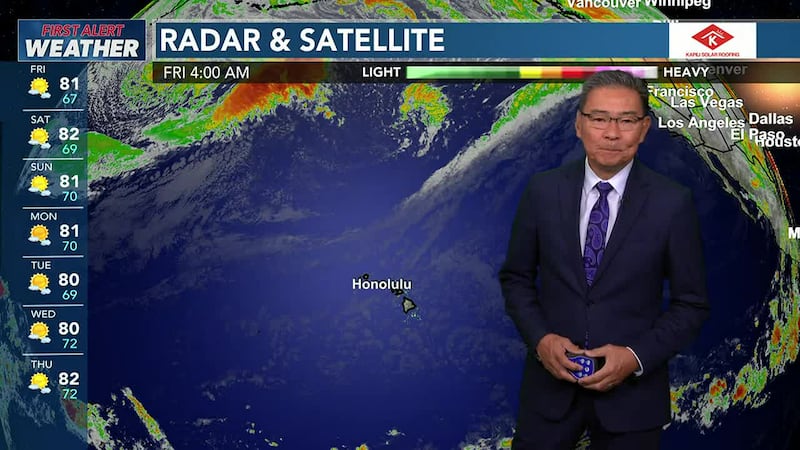
As we face the peak of hurricane season, the waters to our southeast (SE) are warming up and that leads to fuel for potential tropical cyclones. We already have a storm over the Eastern Pacific, named “Gilma.” Gilma will head north and MAY also be a threat NEXT week but for now not initially.
We are tracking a series of developing tropical cyclones. The developing system to our southeast and another developing system over the Eastern Pacific show signs of being potential threats to the islands. Since they have not developed yet -- there is a lot of uncertainty of the track. Models are taking a more aggressive approach suggesting a direct hit or close one to Hawaii Island with the closest system. It appears it will be a low-grade hurricane at one point or a mid-to-strong grade tropical storm. Then there is development behind this system with another storm originating from the Eastern Pacific set to form and then moving in Hawaii’s general direction. So back-to-back storms POTENTIALLY... if today’s model runs hold true.
Since the storms have not officially developed yet, there is still a lot of uncertainty in the tracks. I think once the storms do form, the models will have a better grasp on the track outcomes. Yesterday’s run was well south of the islands and today’s run show it right over us or near the islands coming in from the south.
Just for preliminary looks of today’s runs....
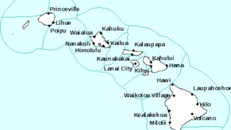
*Both GFS and European models have an aggressive approach and show a possible direct hit to Hawaii Island (along south point to Ka’u) or at least a very close approach at about 5 AM SUNDAY.
*The NAV Gem model shows a slower development period and storm overall and into early next week shows a direct hit to Maui from the south.
*Other models show a continued south track and stays parallel to the islands.
So we will see big fluctuations in the track right now.... as we analyze model run to model run.
I think it is wise to PREPARE for a direct hit by Sunday into Monday. Especially for Hawaii Island and then urge other islands to prepare for rain, surf and winds highly dependent on the center of where the storm will travel next.
Since the location of these disorganized clouds are only about 1200 miles SE of the islands.... that does not give us a lot of time once it does develop.
So with all of that being said, latest models are hinting a direct hit and others keep it south.... nevertheless now is the time to prepare and go over a plan with ohana. This is the peak of hurricane season and folks need to be diligent.
Stay tuned to the latest information on the Hawaii News Now Weather app.
Please watch the video for details of what we know so far and what to expect. Mahalo.

Get 10-minute weather updates, plus your 7-day forecast on Hawaii News Now Sunrise every weekday morning from 4:30 a.m. to 9 a.m. HST with Guy Hagi and team. And enjoy updates on the weather throughout the evening starting at 4 p.m. until 7 p.m. and then again at 9 p.m. and 10 p.m. with Meteorologist Jennifer Robbins on Hawaii News Now. And on weekend mornings with Billy V & weekend nights with Ben Gutierrez.
Copyright 2022 Hawaii News Now. All rights reserved.
